Maximizing profitability and supporting your planning vision
Sky Ladder Drones Projects
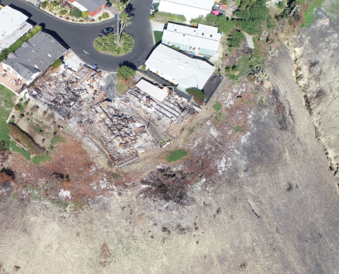
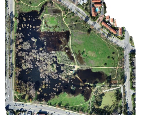
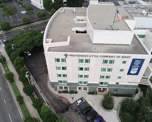
Listed below are some examples of projects we’ve done for customers here in California — we hope these trigger some ideas on how you might be able to use our drone mapping, inspection services and construction progress photos for your own projects. We are always excited to hear about customer specific needs… and special ways you want your data delivered — so give us a call!
As you can see, our flights capture high-quality aerial data, analyze it, and create detailed, precision maps of up to 1,400 acres per day, per drone, for immediate and exact inspections and monitoring.


