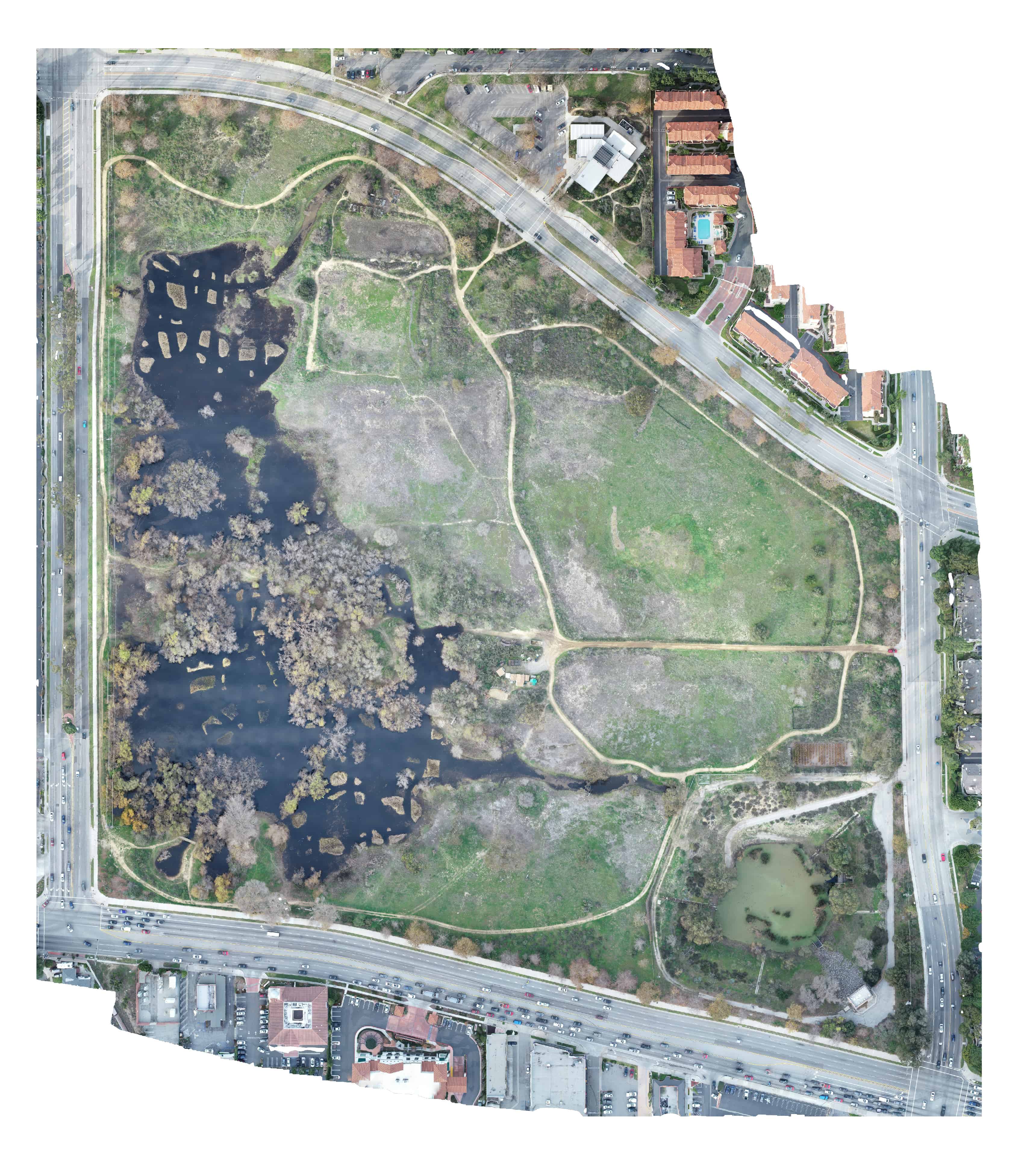
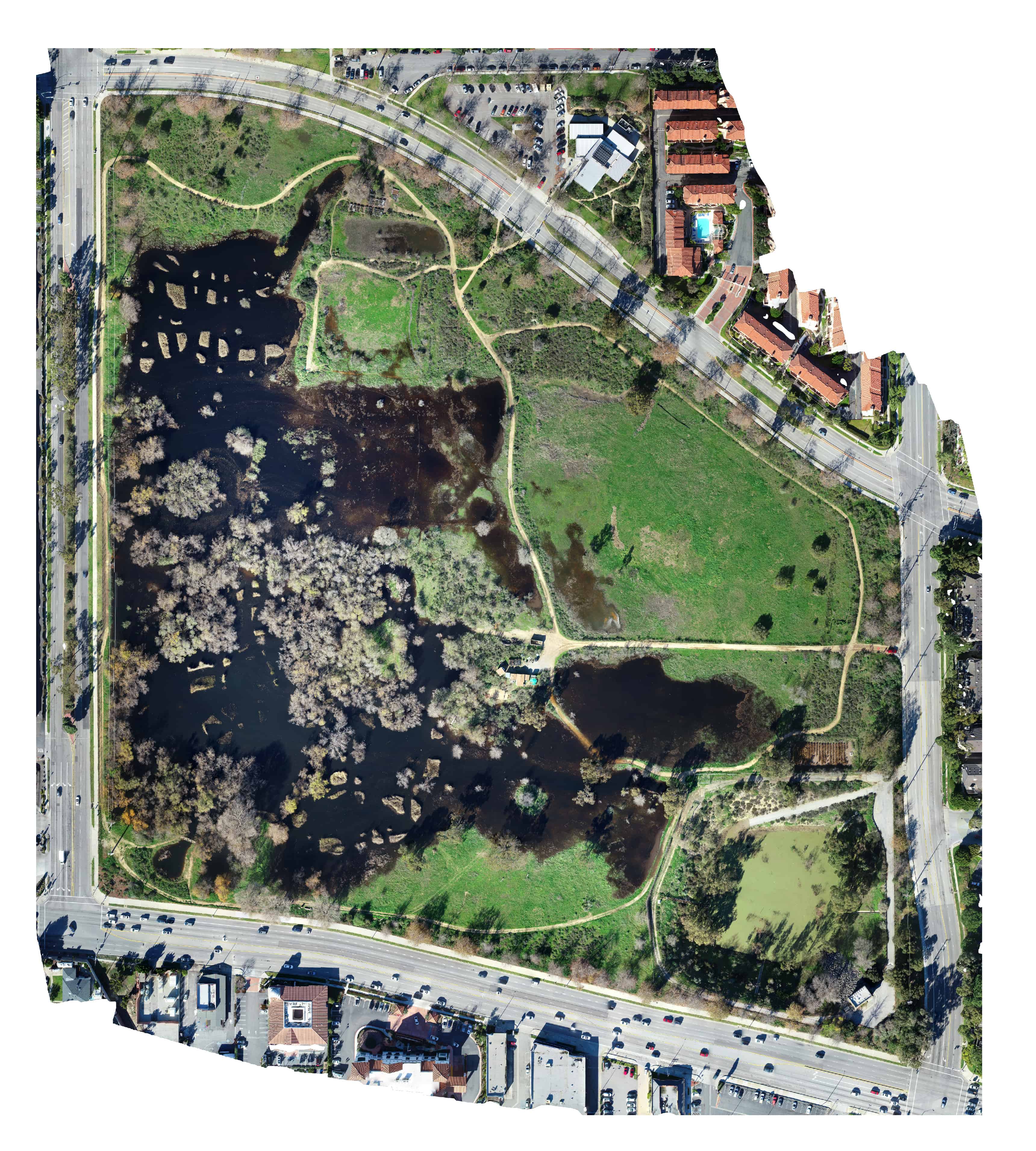
Comprehensive and accurate 2D maps support a variety of industries including construction, architecture, and design. Also, ecological areas are able to be monitored more frequently to see changes over time. And since your organization ‘owns’ the data, you are able to compare specific dates that you determine.
And, when combined with ground control points (GCPs) from a licensed surveyor, precision mapping supports models where you are able to:
- Measure distances
- Measure area (square feet or square meters)
- Measure stockpile volumes (cubic feet, cubic yards and cubic meters)
- Determine elevations across a large area… of any point in the area.
The “secret sauce” are ground control points (GCPs) from a licensed surveyor. With GCPs, accuracy of the data increases significantly — and turns a ‘pretty picture’ into ‘real data.’
[Note: Sky Ladder Drones is not a licensed surveyor. For work that needs survey-quality maps, Sky Ladder Drones would collaborate with your licensed surveyor for setting of GCP and validation of the model.]