2D Mapping
SWPPP – Using Drones to Support Stormwater Pollution Prevention Plan
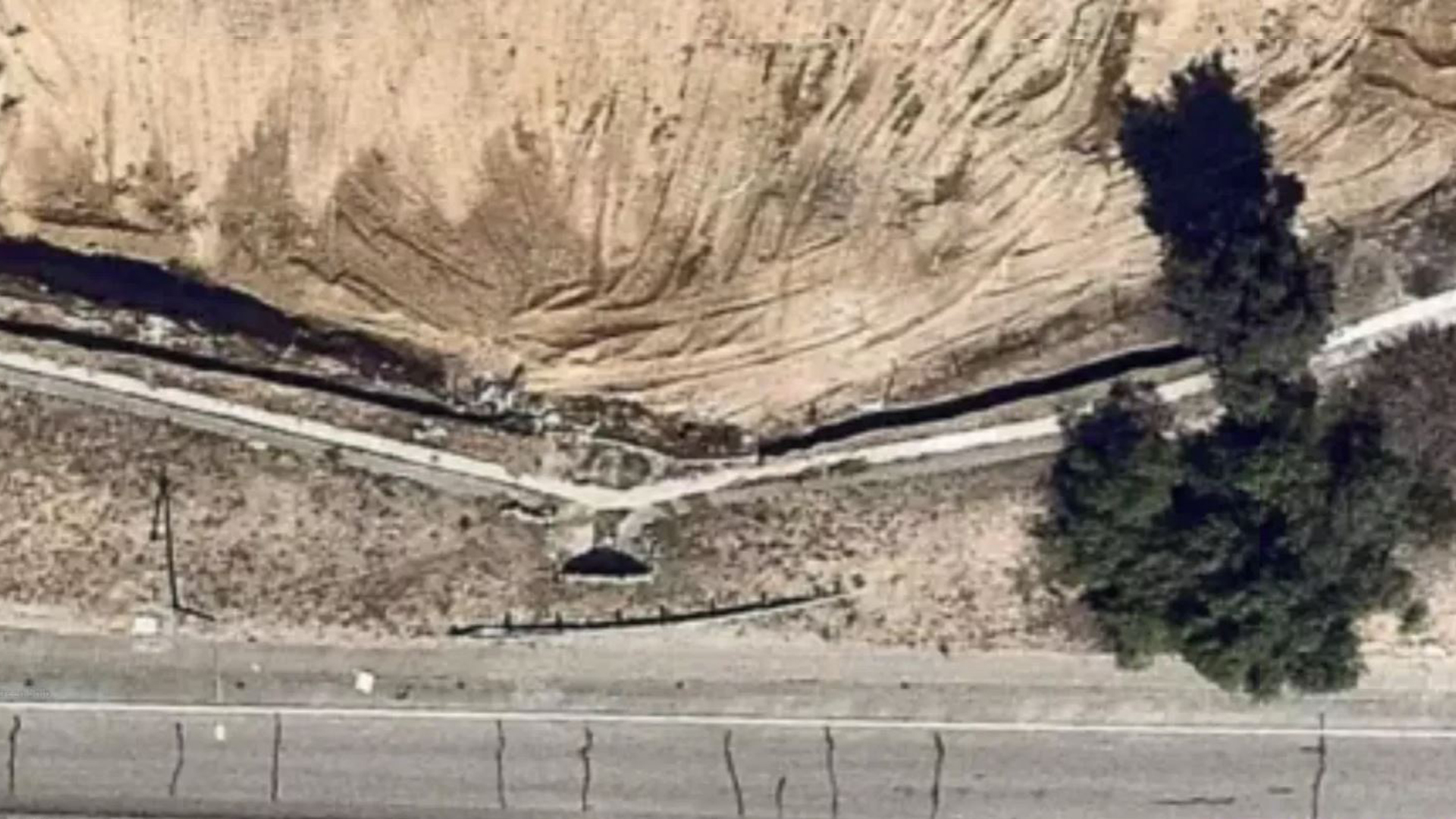
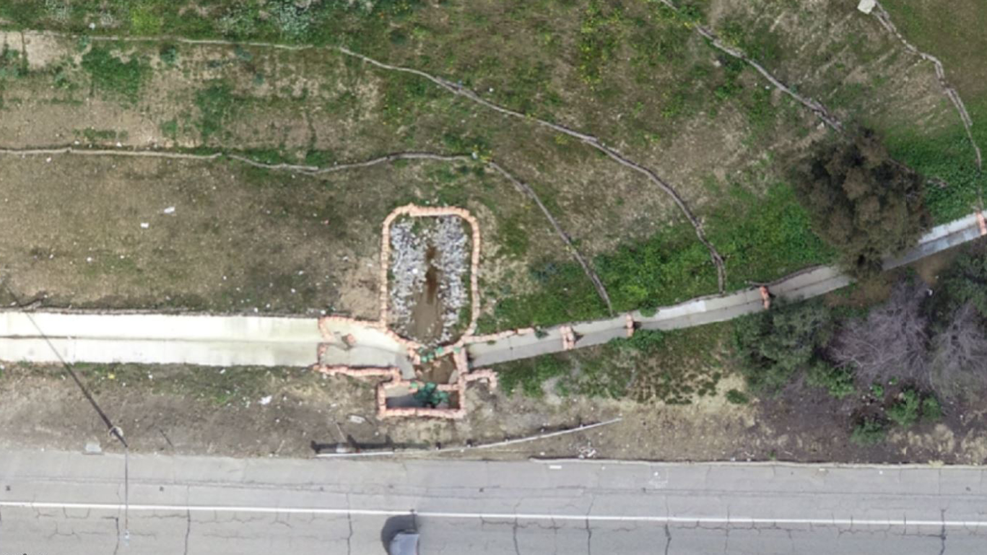
Sky Ladder Drones can help you create high definition maps to support your Stormwater Pollution Prevention Plan (SWPPP) planning, documentation, and reporting. With a drone the map is 10x the resolution of Google Earth, and you control the date/time the maps are captured. This allows for documentation of Best Management Practices (BMPs) over time — see “before/after” images below.
Also, by using drone mapping you can help keep your team safe by having them avoid steep hillsides, rattlesnakes, muddy slopes and other risks.
We can help document your SWPPP compliance by capturing:
- Protected Inlets
- Covered Stockpiles
- Intact Straw Wattles
Note: By combining the services of a licensed surveyor, these maps can gather exact measurements and data. Give us a call or drop us an email.