Madrona Marsh Preserve Phenology – January 2019 to January 2020 (time lapse of monthly drone capture)

We just finished compiling the following video which shows a phenology (study of nature over time) on how the Medrona Marsh Preserve in Torrance, CA has changed during 2019.

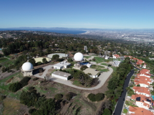
These drone images show how the Madrona Marsh Preserve has changed from January 2019 to January 2020. As you will see, there is significant changes since 16.59 inches in total rainfall fell during the year. Focus on the left side (West) of the site to see the most significant changes in water levels — with the whole site’s vegetation changing colors throughout the seasons.

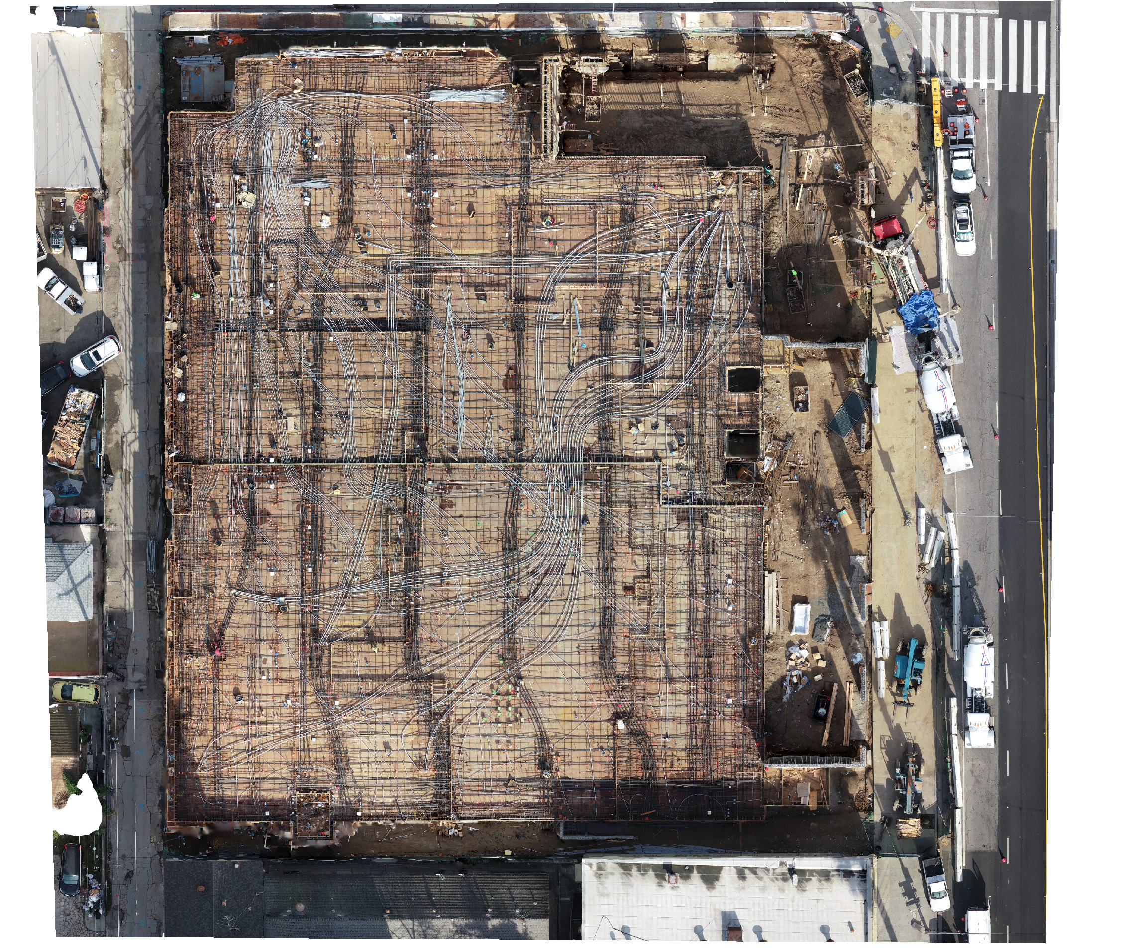
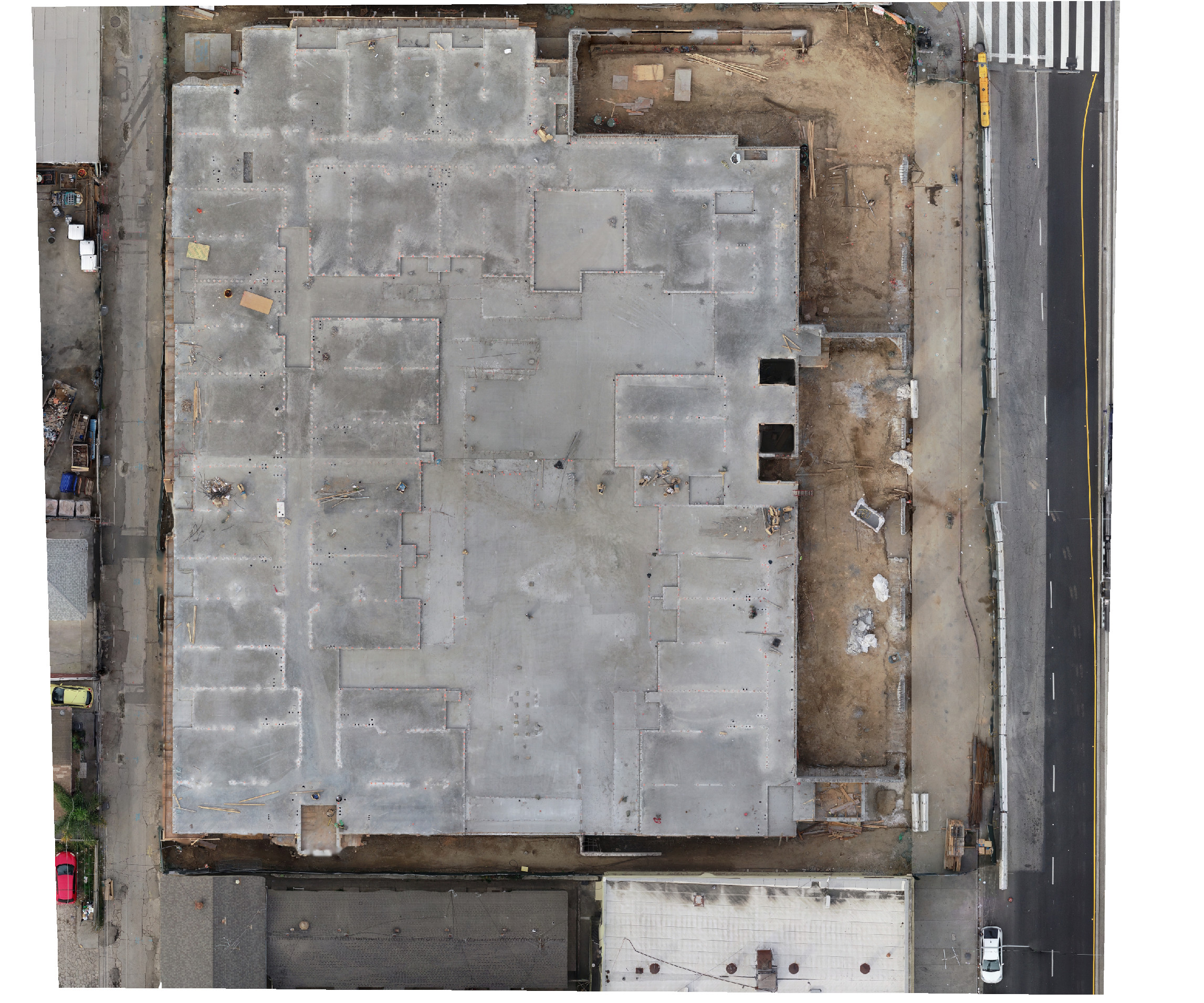
This was created by combining 12 months of orthomosaics into a time lapse video. Each month’s orthomosaic was created by combining (stitching) 400 low altitude drone photographs into precision map.


Sky Ladder Drones Featured on Cover of Daily Breeze Today!!!

A terrific article written by Nick Green of the Daily Breeze was published today featuring our volunteer work with the Madrona Marsh.

Read the article here:


Construction Progress Captures in March ARB “Zero Grid”

We had multiple jobs today capturing construction progress in Moreno Valley today. Thank you to Desi for her help as a VO, it was invaluable having her onsite and always fun to work with.

As you can see, it was a beautiful SoCal day – sunny, crisp and cool. Also, coordination of the “Zero Grid” airspace with March ARB was smooth as usual – thank you to the team at March ARB for their professionalism.


Desi and Steven on job site in Moreno Valley


Desi takes a selfie on the jobsite.

Introducing ConcreteVision™ (See through concrete decks)

Developers, Construction Management Companies and Contractors — stop guessing where the pipe or electrical conduit is located.  With our new ConcreteVision™, you can see the exact as-built without calling out a concrete x-ray crew.

Take a look at this side-by-side comparison of a portion of a site — please contact us if you are interested.

Here is a live example from a recent construction project:


[Note: These maps are not surveys or certified by a licensed surveyor. With surveyor ground control points, these “pre” & “post” pour maps will overlay with other site maps perfectly. They are just pretty pictures until they are geo-referenced and certified.]

Happy New Year from the Sky Ladder Drones team!

Happy New Year from the Sky Ladder Drones team! First, thank you to all our customers in 2019!

And a special thank you to our pilots, visual observers and partners.  When I started adding the names of people who helped pilot or VO (visual observer) during in 2019, I was amazed to compile a list of 32 total people!!!  Thank you to these pilots/VOs — look at the sky of the panorama to see the names of everyone on the team who helped make this a great year!

It was a beautiful day in Los Angeles yesterday when I captured this 360 degree panorama at the top of the Palos Verdes Peninsula — with views of snow-capped mountains, downtown, Hollywood, Malibu, Catalina and Orange County.

We wish you a healthy and prosperous 2020!

Click here:  360 Panorama

(see our team’s names in the sky of the panorama)

San Pedro Radar Tower – Palos Verdes, California (Sky Ladder Drones – 12/31/2019)