Mapping Mission Adjacent to Torrance Airport
We recently got a call from a property owner who wanted a precision map of their property. After learning about their needs, the first question we asked was — what is the address of your property so we can confirm it is someplace we can safely fly. When the owner shared that the site was just across the street from Torrance Airport (Class D airspace) we immediately shared that his property’s location might be an issue… but that we’d try to get authorization.
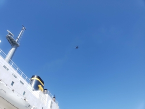
We regularly fly in what is considered “zero grid” or “do not fly” airspace, but this was the closest to Torrance Airport we would had ever flown. So, after reviewing flight patterns and the heights of surrounding buildings, we submitted a request to the airport for our 1 hour flight. We included mitigation to fly lower that usual — but which would avoid any possible conflicts with aircraft. We also shared that we would monitor the airport’s traffic on a special airport traffic frequency radio to ensure a safe mission.
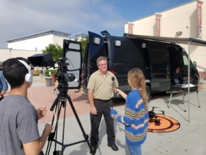
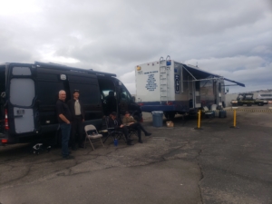
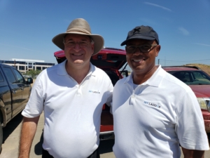
We received permission to fly a few days after submitting our request and we took this “selfie” of intern Mariel and pilot Steven just to document the historic (and safe) event.
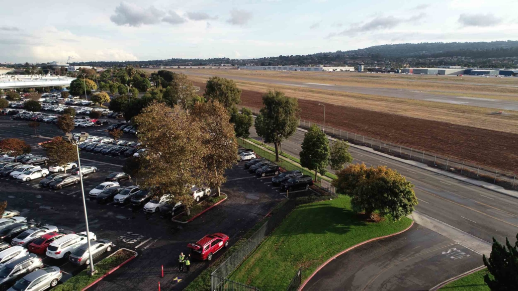
Mariel and Steven all setup in a parking lot adjacent to Torrance Airport.